One thing that people often ask me when they want to start researching the history of their home is ‘where do I start’? If you are not familiar with documentary sources or archival catalogues, it can feel a little daunting knowing where to begin.
As a house history researcher who has been uncovering the history of commercial and domestic buildings for over a decade, the first thing I do, before I even Google a property, is look at historic maps, specifically large-scale Ordnance Survey maps. The most useful to house historians, are the 1:12,500 maps, which show details of individual buildings, property boundaries, streets and land use. The 3 editions of these maps cover the time from the late 19th century to the early-mid 20th century.
So why are these maps a good starting point? Well, they provide two key details which help to focus the research- an estimated build date of the property, and any former names or road name changes. Once you have this information, you can narrow your search parameters, ensuring that if you are looking at local archive’s catalogues, you don’t miss any relevant records which could be catalogued any the property’s former address.
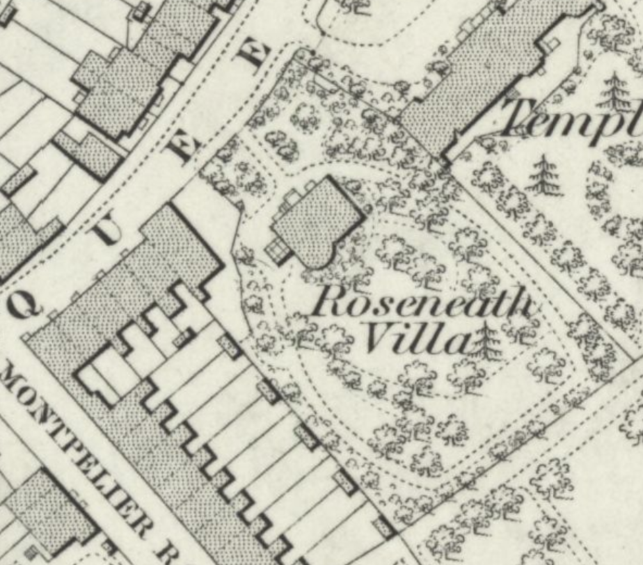
An extract from the First Edition OS map covering Hammersmith, surveyed in 1865. It gives the details of the name of a house as ‘Roseneath Villa’.
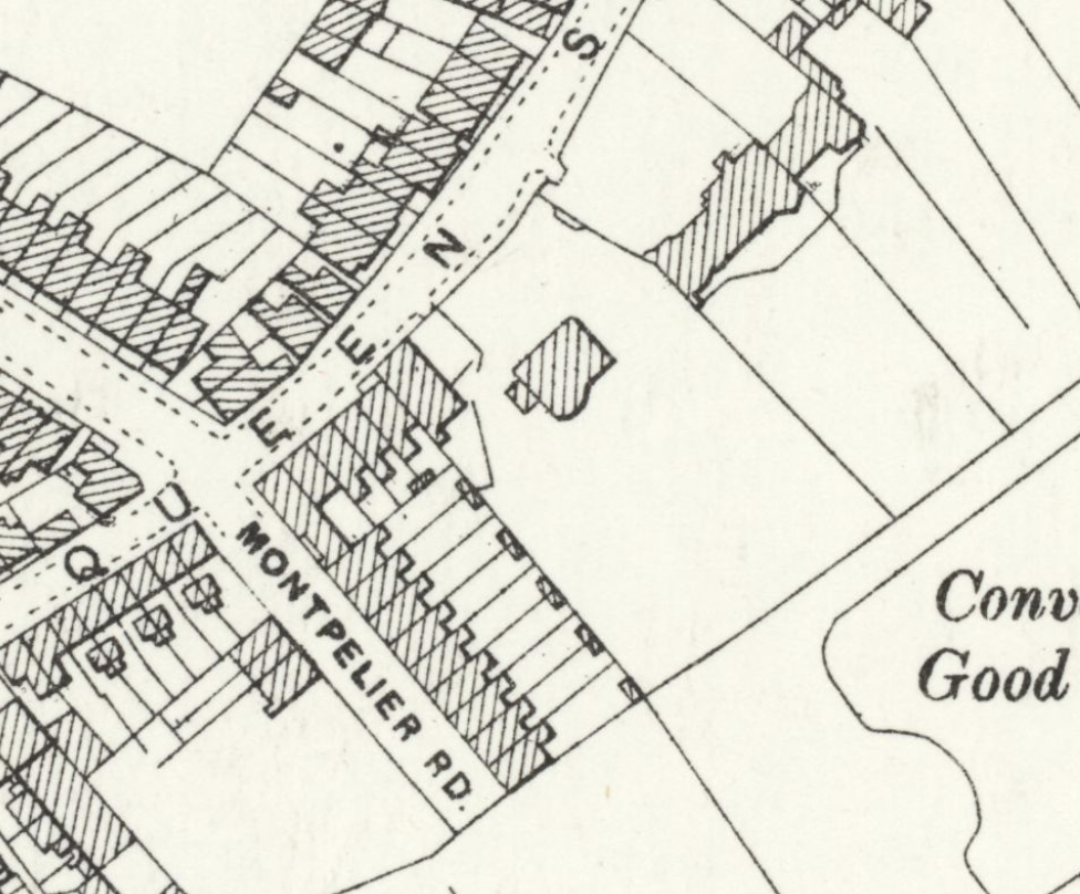
Same view, but revised in 1893. Note the absence of house name.
Aside from their use for house history purposes, Ordnance Survey maps are beautifully detailed, allowing you to also explore how your local area evolved over the years. People are surprised. that even the most built-up areas were once sparsely populated, surrounded by fields and farms. These maps allow you to immerse yourself in the world- now long gone- in which your house occupied.
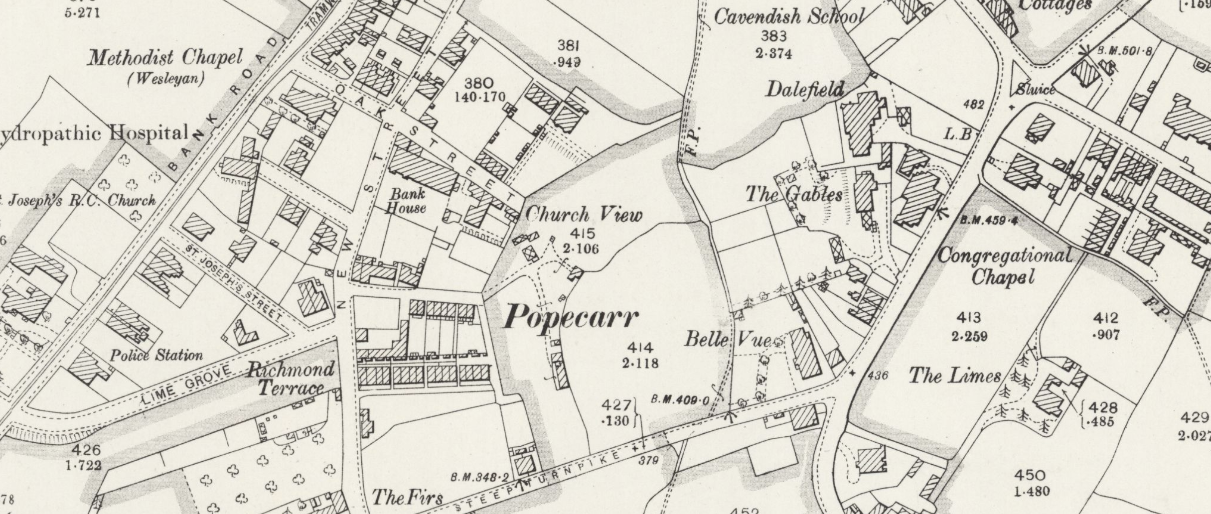
This map from the 1890s OS series was unusually thorough in its coverage of house names.